Professional Aerial Survey Drone for Land & Building Mapping High Altitude Photography UAV
$1,000.00
99 in stock
Description
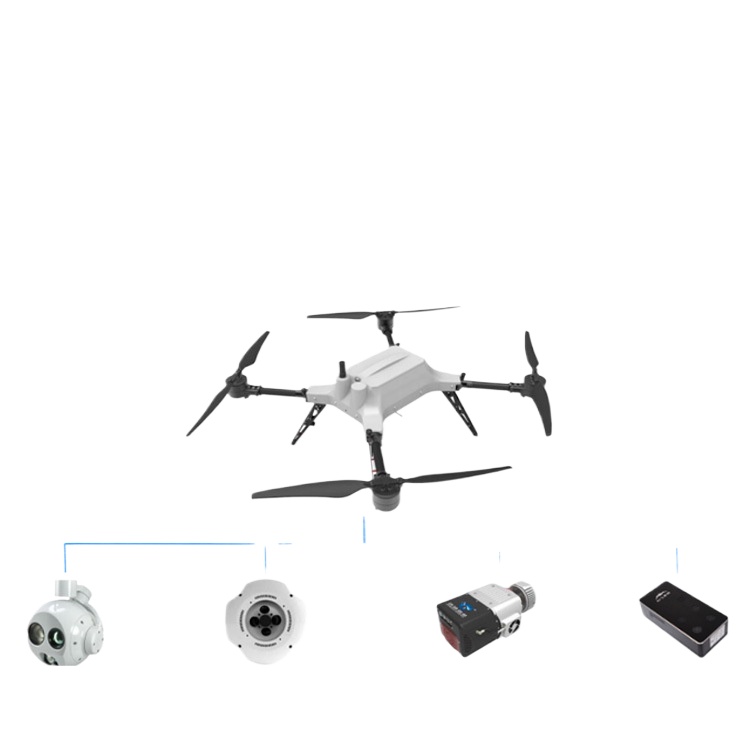
- Professional Aerial Survey: Designed for accurate land and building mapping, providing precise data collection for various surveying needs.
- High-Altitude Photography: Capture stunning images and videos from an elevated perspective, ideal for aerial photography and video projects.
- Advanced Drone Technology: Equipped with model-specific features for stable flights and reliable performance in diverse environments.
- Easy Operation: User-friendly controls ensure straightforward flight and camera operation, suitable for both experienced and new users.
- Complete Package: Includes the core drone unit and essential accessories, ready for immediate professional aerial photographic and mapping tasks.
Additional information
| Weight | 6 kg |
|---|---|
| Dimensions | 40 × 30 × 25 cm |
Only logged in customers who have purchased this product may leave a review.

Reviews
There are no reviews yet.